Available Data Resources
Wireless Sensor Network
High-resolution environmental monitoring from distributed sensor nodes providing real-time hydroclimatic data.
- Temperature and relative humidity
- Snow depth and snow water equivalent
- Soil moisture at multiple depths
- Hourly data updates
CDEC Station Data
Stream discharge and snow water content from California Data Exchange Center stations in the American River Basin.
- Real-time discharge measurements
- Snow water content monitoring
- Interactive time series charts
- Multiple station coverage
Gridded Climate Information
Gridded snow data products including daily SWE estimates and SNODAS analysis for water supply forecasting.
- SNODAS snow water equivalent
- SNODAS snow depth analysis
- gridMET climate variables
- Spatial snow water equivalent
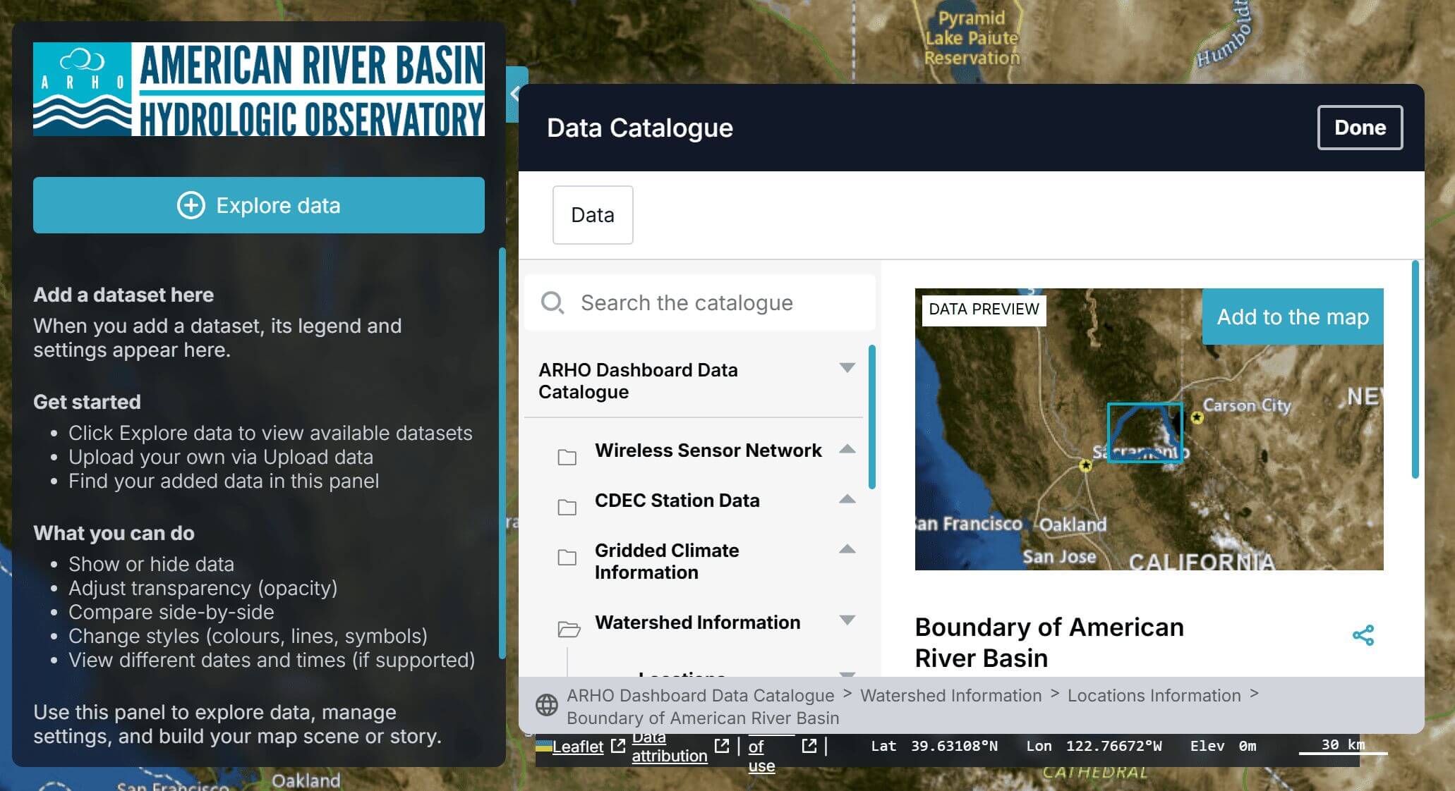
Watershed Information
Geographic and boundary data for the Upper American River Basin including HUC watersheds and land cover.
- American River Basin boundary
- HUC 08 watershed delineation
- NLCD land cover datasets
- Sensor network locations
About ARWIN
Study Area
The Upper American River Basin in the Northern Sierra Nevada, California, covering the North, Middle, and South Forks of the American River. The watershed spans from the peaks west of Lake Tahoe to Folsom Lake, encompassing approximately 2,100 square miles.
Project Goals
ARWIN aims to improve hydrologic monitoring and forecasting by understanding how changes in runoff patterns from droughts and wildfires affect water resources, analyzing precipitation processes, and evaluating snowpack evolution to support water and power management decisions.
Data Applications
The hydroclimatic information system supports critical applications including water supply forecasting, flood planning, drought management, and hydropower operations throughout the American River Basin region.